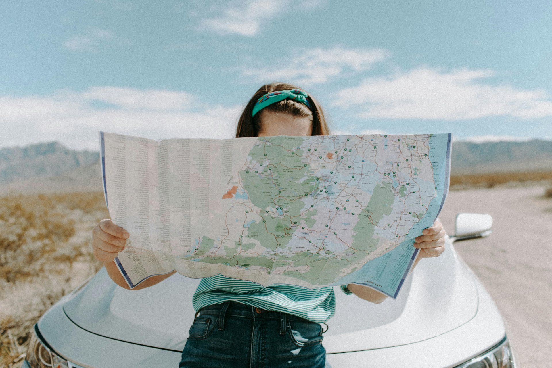
We have a road trip coming up, but today I want to tell you about one Tom and I took a few years back. It was our first time to ask Google Maps to help us with directions. According to Google Maps, the trip would take 34 days—just to get there. And it required the most interesting transportation! Here’s the story:
How to Get to Yakima
As we were making plans to go to Eastern Washington several years ago, Tom was looking for details about the roads from Stanwood to Yakima. He opened Google Maps and typed in his information. He was baffled when the following map and directions appeared. Seems he added an extra a to the middle of the word Yakima, (Yakiama), so Google Maps directed him to Yokohama Japan! Check out the directions. Apparently we’ll have to take some sea kayaking lessons before we venture out on this trip!

6,796 mi – about 34 days 9 hours
| 1. | Head south on 102nd Ave NW towardWA-532 W |
62 ft
|
| 2. | Take the 1st left onto WA-532 E |
5.9 mi
|
| 3. | Slight right to merge onto I-5 S |
42.6 mi
|
| 4. | Take exit 169 toward NE 45th St |
0.6 mi
|
| 5. | Merge onto 5th Ave NE |
233 ft
|
| 6. | Turn right onto NE 45th St |
0.6 mi
|
| 7. | Turn left onto Wallingford Ave N |
0.9 mi
|
| 8. | Turn right onto N 34th St |
292 ft
|
| 9. | Take the 1st left onto Densmore Ave N |
436 ft
|
| 10. | Turn right onto N Northlake Way |
282 ft
|
| 11. | Kayak across the Pacific Ocean
Entering Hawaii
|
2,756 mi
|
| 12. | Continue straight |
0.1 mi
|
| 13. | Turn left onto Kuilima Dr |
0.5 mi
|
| 14. | Take the 3rd right onto HI-83 W |
12.4 mi
|
| 15. | Continue straight onto HI-99 S/Kamehameha Hwy |
6.5 mi
|
| 16. | Slight left onto HI-80 S/Kamehameha Hwy
Continue to follow Kamehameha Hwy
|
2.1 mi
|
| 17. | Take the Interstate H-2 S ramp toHonolulu |
0.2 mi
|
| 18. | Merge onto I-H-2 S |
7.9 mi
|
| 19. | Merge onto I-H-1 E |
4.7 mi
|
| 20. | Take exit 13B toward Halawa Hts. Stadium |
0.3 mi
|
| 21. | Merge onto I-H-201 E |
4.1 mi
|
| 22. | Merge onto I-H-1 E |
4.1 mi
|
| 23. | Take exit 23 for Punahou St towardWaikiki/Manoa |
0.2 mi
|
| 24. | Turn right onto Punahou St |
0.1 mi
|
| 25. | Take the 1st right onto S Beretania St |
0.1 mi
|
| 26. | Take the 1st left onto Kalakaua Ave |
1.9 mi
|
| 27. | Kayak across the Pacific Ocean
Entering Japan
|
3,879 mi
|
| 28. | Turn left toward 県道275号線 |
0.4 mi
|
| 29. | Turn left toward 県道275号線 |
358 ft
|
| 30. | Turn left toward 県道275号線 |
0.2 mi
|
| 31. | Turn right onto 県道275号線 |
0.1 mi
|
| 32. | Turn left onto 国道125号線 |
499 ft
|
| 33. | Turn right onto 県道24号線 |
0.6 mi
|
| 34. | Turn left at 千束町(交差点) onto 国道354号線 |
2.0 mi
|
| 35. | Turn right at 中村陸橋下(交差点) to stay on 国道354号線 |
1.0 mi
|
| 36. | Take the ramp to 常磐自動車道
Toll road
|
0.3 mi
|
| 37. | Keep left at the fork, follow signs for東京 and merge onto 常磐自動車道
Toll road
|
23.8 mi
|
| 38. | Take exit 三郷JCT on the righttoward 首都高・銀座・湾岸線
Toll road
|
0.7 mi
|
| 39. | Merge onto 首都高速6号三郷線
Toll road
|
5.8 mi
|
| 40. | Take exit 小菅JCT toward 湾岸線・銀座
Toll road
|
0.3 mi
|
| 41. | Merge onto 首都高速中央環状線
Toll road
|
0.4 mi
|
| 42. | Take exit 堀切JCT on the righttoward 銀座
Toll road
|
0.3 mi
|
| 43. | Merge onto 首都高速6号向島線
Toll road
|
5.4 mi
|
| 44. | Take exit 江戸橋JCT toward 銀座・横浜
Toll road
|
0.4 mi
|
| 45. | Merge onto 首都高速都心環状線
Toll road
|
2.3 mi
|
| 46. | Take exit 浜崎橋JCT toward 湾岸線・横浜
Toll road
|
0.4 mi
|
| 47. | Merge onto 首都高速1号羽田線
Toll road
|
7.4 mi
|
| 48. | Continue onto 首都高速神奈川1号横羽線
Toll road
|
11.5 mi
|
| 49. | Take exit 首都高横浜公園 on the right
Toll road
|
0.3 mi
|
| 50. | Keep right at the fork, follow signs for大さん橋・中華街・県庁・市庁
Toll road
|
331 ft
|
| 51. | Turn left at 横浜スタジアム前(交差点) |
0.2 mi
|
| 52. | Turn right at 関内駅南口(交差点)
Destination will be on the left
|
210 ft
|
| 53. | Arrived at Yokohama, Kanagawa Prefecture, Japan |
Please feel free to use our directions if you’d like. Let us know how to pack for a kayaking trip across the ocean. Call us when you arrive. And safe travels! ;)
Ginger


Leave a Reply